Lines of Power: Cartography, Colonial Science, and the Politics of the Drawn World
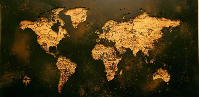
A map appears, at first glance, to be an act of fidelity. It promises to show the world as it is—measured, verified, and rendered in a form that anyone with sufficient training can read and trust. Yet the history of cartography is less a story of faithful transcription than one of selection, suppression, and the slow consolidation of particular ways of knowing the Earth into what came to be called scientific geography. To examine how maps acquired their authority is to examine how Western science itself learned to speak in the register of objectivity—and what it cost to do so.
From Craft to Credential
Cartography's transformation from a practical maritime trade into a credentialed scientific discipline unfolded across roughly three centuries, beginning in earnest during the late fifteenth century. The portolan charts that guided Venetian and Genoese merchants through the Mediterranean were functional objects, produced by craftsmen whose reputations rested on navigational accuracy rather than theoretical coherence. They bore little resemblance to the cosmographical treatises produced in university settings, which traced their lineage to Ptolemy's Geographia and aspired to describe the world as a unified mathematical object.
The encounter between these two traditions—the empirical and the theoretical—was neither smooth nor symmetrical. As European states began sponsoring oceanic exploration, the mapmaker's workshop became a site of intense political investment. Royal cosmographers in Spain and Portugal were charged not merely with recording coastlines but with asserting sovereignty over them. The act of drawing a line on vellum or paper carried legal and diplomatic weight that had little to do with the accuracy of the underlying survey.
What emerged from this crucible was a hybrid epistemic form: the map as scientific document. By the seventeenth century, practitioners such as Willem Janszoon Blaeu in Amsterdam and later figures associated with the French Académie des Sciences were presenting cartographic work as the product of rigorous method—triangulation, astronomical observation, calibrated instrumentation. The map's claim to authority was no longer merely the mapmaker's reputation; it was the reputation of science itself.
Projection as Argument
No single technical choice in cartography carries more epistemological freight than the selection of a map projection. Because the Earth's surface is curved and a map is flat, every projection involves a mathematical transformation that necessarily distorts some property—area, shape, distance, or direction—to preserve others. This is not a flaw that better technology can eliminate; it is a structural feature of the problem.
The Mercator projection, developed by the Flemish cartographer Gerardus Mercator in 1569 for navigational purposes, preserves compass bearings at the expense of area. The consequence, familiar to many American students who grew up with Mercator-based classroom maps, is a systematic enlargement of landmasses at higher latitudes. Greenland appears roughly the size of Africa; in reality, Africa is approximately fourteen times larger. For centuries, this distortion was treated as a technical inconvenience rather than a political statement. Historians and geographers have since argued persuasively that the projection's dominance in educational and official contexts reinforced a visual grammar in which the global North occupied a disproportionate share of the world's apparent surface—and, by extension, a disproportionate share of its implied importance.
The Peters projection, introduced in 1973 and promoted as a corrective, restored area fidelity but distorted shape, provoking a sharp controversy among professional cartographers that was as much about disciplinary authority as it was about geometry. The debate illustrated something the philosopher of science Helen Longino might recognize as the operation of background assumptions: choices that appear purely technical are always already value-laden, and contesting them disturbs far more than the drafting table.
What the Map Excludes
The politics of cartographic representation are not only a matter of what is distorted but of what is absent. Colonial mapping enterprises across Africa, the Americas, and the Pacific systematically displaced or erased Indigenous geographic knowledge—knowledge that was often more precise, more ecologically sophisticated, and more practically useful for navigating particular territories than the European surveys that supplanted it.
Mi'kmaq maps of the northeastern coastline, Polynesian stick charts encoding wave patterns across vast stretches of the Pacific, and the elaborate spatial knowledge embedded in Aboriginal Australian songlines all represent epistemological traditions with their own standards of validity and transmission. These were not pre-scientific approximations awaiting correction by theodolite and transit; they were fully developed knowledge systems operating according to different but coherent criteria. The decision to exclude them from the archive of legitimate geographic knowledge was not a scientific judgment. It was a political one, dressed in the language of method.
Contemporary scholars working in the history and philosophy of science have increasingly turned to these alternative cartographic traditions not as curiosities but as evidence for a broader argument: that the apparent universality of Western scientific geography was achieved through exclusion as much as through discovery. The philosopher Sandra Harding's concept of "strong objectivity" is useful here—the idea that genuine epistemic rigor requires acknowledging the social position from which knowledge is produced, rather than pretending to a view from nowhere.
The Digital Terrain and Its Inherited Assumptions
If the political dimensions of cartography seem like a historical problem, the proliferation of digital mapping technologies suggests otherwise. Geographic Information Systems, satellite imaging, and platforms such as Google Maps have democratized access to spatial data in genuinely remarkable ways. Yet they have also inherited and amplified the assumptions embedded in the traditions from which they descend.
The coordinate systems underlying most digital mapping are rooted in frameworks developed during the era of colonial survey. The naming conventions that populate digital maps often preserve colonial toponyms over Indigenous ones, a pattern that has prompted ongoing advocacy and, in some jurisdictions, official revision. The algorithmic logic that determines what a mapping platform displays, at what scale, and with what emphasis, replicates the editorial function that cartographers have always performed—but it does so with an air of automation that renders the choices less visible, not more.
For historians and philosophers of science, this is a familiar dynamic: the concealment of human judgment within the apparent neutrality of technical systems. The map has always been an argument. Digital cartography has not dissolved that argument; it has simply made it harder to find the author.
Conclusion: Reading the Argument in the Line
The history of cartography offers one of the clearest available demonstrations that scientific authority is constructed rather than simply discovered. The choices embedded in a map—what projection to use, what to name, what to render in detail and what to leave blank—are not incidental to the map's function. They constitute it. Recovering that constructedness is not an act of cynicism about science; it is a precondition for understanding how scientific knowledge actually works and how it might be made more genuinely accountable to the full range of human experience it purports to represent.